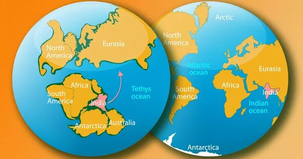
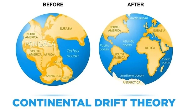
The East African Rift System is the world’s largest continental rift. It runs over 6,000 kilometres (3,700 miles) from Ethiopia’s Afar Triple Junction to Mozambique. The East African Rift System is a tectonic feature that is active and characterised by rift valleys, volcanic activity, and the formation of new crust.
The African Superplume is responsible for the unusual deformations and rift-parallel seismic anisotropy observed beneath the East African Rift System, according to computer models.
Continental rifting is characterised by a combination of stretching and breaking that extends deep into the Earth, according to geophysicist D. Sarah Stamps. Continental rifting involves the stretching of the lithosphere, the Earth’s outermost, rigid layer. As the lithosphere thins, its shallow regions undergo brittle deformation, resulting in rock breaking and earthquakes.
Stamps, who studies these processes using computer modelling and GPS to map surface motions with millimetre precision, compares the different deformation styles of a rifting continent to playing with Silly Putty.
We are saying that the mantle flow is not driving the east-west, rift-perpendicular direction of some of the deformations, but it may be causing the anomalous northward deformation parallel to the rift.
Tahiry Rajaonarison
“If you hit Silly Putty with a hammer, it can actually crack and break,” said Stamps, associate professor in the Department of Geosciences, part of the Virginia Tech College of Science. “But if you slowly pull it apart, the Silly Putty stretches. So on different time scales, Earth’s lithosphere behaves in different ways.”
Deformation caused by continental rifting usually follows predictable directional patterns in relation to the rift, whether stretching or breaking: The deformation is typically perpendicular to the rift. Those rift-perpendicular deformations can be found in the East African Rift System, the Earth’s largest continental rift system. Stamps observed deformation that went in the opposite direction, parallel to the system’s rifts, after measuring the rift system with GPS instruments for more than 12 years. Her team at the Geodesy and Tectonophysics Lab has been investigating why.
In a recent study published in the Journal of Geophysical Research, the team used 3D thermomechanical modelling developed by the study’s first author, Tahiry Rajaonarison, a postdoctoral researcher at New Mexico Tech who earned his Ph.D. as a member of Stamps’ lab at Virginia Tech. His models revealed that the unusual, rift-parallel deformation of the rift system is caused by northward mantle flow associated with the African Superplume, a massive upwelling of mantle that rises from deep within the Earth beneath southwest Africa and moves northeast across the continent, becoming shallower as it goes north.
Their findings, when combined with those from a study published in 2021 using Rajaonarison’s modelling techniques, could help settle the scientific debate over which plate-driving forces dominate the East African Rift System, accounting for both rift-perpendicular and rift-parallel deformation: lithospheric buoyancy forces, mantle traction forces, or both.
Stamps began observing the East African Rift System’s unusual, rift-parallel deformation as a postdoctoral researcher using data from GPS stations that measured signals from more than 30 satellites orbiting Earth from about 25,000 kilometres away. Her observations have added another layer of nuance to the debate over what drives the rift system.
Some scientists believe that lithospheric buoyancy forces, which are relatively shallow forces attributed primarily to the rift system’s high topography, known as the African Superswell, and density variations in the lithosphere, are driving the rifting in East Africa. Others point to horizontal mantle traction forces as the primary driver, which are deeper forces caused by interactions with mantle flowing horizontally beneath East Africa.
The team’s 2021 study discovered that the rift and its deformation could be driven by a combination of the two forces using 3D computational simulations. Their models revealed that lithospheric buoyancy forces were responsible for the more predictable, rift-perpendicular deformation, but not for the anomalous, rift-parallel deformation detected by Stamps’ GPS measurements.
Rajaonarison used 3D thermomechanical modelling again in their recently published study, this time to focus on the source of the rift-parallel deformations. His simulations show that the African Superplume is to blame for the unusual deformations and rift-parallel seismic anisotropy observed beneath the East African Rift System.
According to Stamps, seismic anisotropy is the orientation or alignment of rocks in a specific direction in response to mantle flow, melt pockets, or pre-existing structural fabrics in the lithosphere. The alignment of the rocks in this case followed the direction of the African Superplume’s northward mantle flow, indicating that mantle flow was their source.
“We are saying that the mantle flow is not driving the east-west, rift-perpendicular direction of some of the deformations, but it may be causing the anomalous northward deformation parallel to the rift,” Rajaonarison explained. “We confirmed previous ideas that lithospheric buoyancy forces are driving the rift, but we’re also bringing new insight that anomalous deformation can happen in East Africa.”
Learning more about the processes involved in continental rifting, including these anomalous ones, will help scientists chip away at the complexity of continent breaking, which they’ve been attempting for decades. “We’re excited about this result from Dr. Rajaonarison’s numerical modelling because it provides new information about the complex processes that shape the Earth’s surface through continental rifting,” said Stamps.