
According to a team led by Penn State scientists, drones flying along kilometers of rivers in the rugged, hilly terrain of central Taiwan and analyzing the rock qualities have offered fresh hints about how water helps build mountains over geological time.
The researchers discovered a relationship between the size of pebbles in rivers and their steepness. The link demonstrates how rock qualities can influence the relationship between deep subsurface tectonic processes and how mountainous landscapes change shape. They published their findings in the journal Science Advances.
“Over the course of a mountain belt developing, we’re seeing differences in how rivers incise, or cut down into the bedrock, in the younger and older sections,” said Julia Carr, lead author of the study who earned her doctorate in geosciences from Penn State in 2022. “It means that as a mountain belt evolves, erosion is changing at the surface.”
As tectonic plates collide to produce mountain ranges, previously buried rocks in the Earth’s crust are forced to the surface in a process known as uplift. The temperature and pressure that these rocks are subjected to cause diversity in rock attributes, such as rock hardness or the spacing and direction of fractures, which affects how quickly they are eroded by elements at the surface, according to the experts.
Over the course of a mountain belt developing, we’re seeing differences in how rivers incise, or cut down into the bedrock, in the younger and older sections. It means that as a mountain belt evolves, erosion is changing at the surface.
Julia Carr
The size of boulders in rivers, which were larger and stronger in regions where rocks had been buried deeper in the Earth’s crust, was discovered to be the key indicator of mountain rock strength in Taiwan by the experts. According to the experts, the size of the stones coincided with the steepness of the rivers, which must be forceful enough to send these rocks downstream before eroding the mountain.
“When the boulders in the channels are larger, the river needs to steepen to be able to erode at the same rate,” said Roman DiBiase, associate professor of geosciences at Penn State and co-author of the study. “This is because in order to erode rock, the sediment covering a river channel needs to move out of the way. The larger the boulders in the channel, the steeper the channel needs to be to move them.”
Models can account for how storms and floods affect erosion rates, but the involvement of rock strength in the process is more difficult to account for, according to the experts.
“Determining the controls on river incision into rock is important for understanding how mountain ranges evolve over geologic time,” he said. “But some key parameters for testing models of river incision, such as flow depth and sediment cover, are difficult to measure at large scales.”
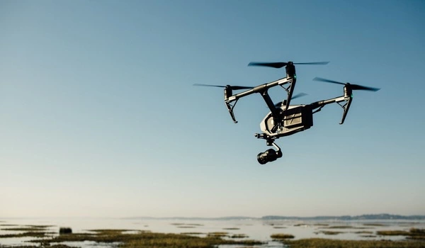
To acquire data, the researchers used drones to avoid barriers such as dangerous river crossings and waterfalls. Hundreds of thousands of measurements of river channel morphology and over 22,000 measurements of rocks were obtained during these surveys along around 18 miles of river.
“That’s where it’s really unprecedented — something of this scale is very unusual,” said Carr, who did the research at Penn State and is now a postdoctoral scholar at Simon Fraser University in British Columbia. “It’s exciting to be able to survey at this scale; it allows us to see patterns that we would never have seen otherwise.” If you only went out into the field and inspected the few areas that were easily accessible, you would not notice this pattern.”
Taiwan’s central mountain range has one of the steepest terrain on the planet, with one of the fastest erosion rates outside of glaciated or human-influenced places, according to Carr. Furthermore, Taiwan’s tectonic setting is well understood and has systematic burial depth patterns that can be used to examine the relationship between subsurface history of rocks and their current surface condition.
“It’s this great unique place because unlike somewhere like the Himalayas or the Alps, where there’s so many complex tectonic histories, Taiwan can be a relatively simple landscape to study because the same collision forces that created it millions of years ago are still active today,” Carr said. “And these lessons learned from Taiwan can help inform erosion models that are applied to other mountain ranges with fewer constraints.”
Because of how the range originated, younger rocks are found in the south and west, while older rocks buried deeper (up to 24 miles underground) are located further east and north, according to the experts.
Rivers in their younger parts feature fewer, smaller rocks that cover less of the channel space. The rocks grow to a median size of more than six feet as you walk into the oldest areas, according to the experts.
According to the experts, these boulders are not languishing in rivers waiting to be broken down over time. Instead, stones in each river section were nearing the threshold of mobility, indicating that the water was nearly powerful enough to propel them downstream. These boulders may be entirely moveable during strong flows after storms, and as they move, they assist incise the river.
“One way you can think about how rivers incise long term — you need to be able to move sediment, and once you cross over some threshold, you can incise the river,” Carr said. “If we apply this, it implies this primary rock strength signal controlling boulder size is setting river incision in the landscape. And that matches with the local steepness of the rivers.”