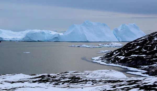
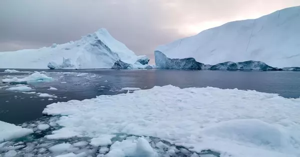
The Greenland and Antarctic ice sheets are the world’s largest bodies of ice and play a critical role in the global climate system. Since the 1990s, both ice sheets have been losing mass at an increasing rate, accounting for one-third of the global sea level rise during this time period.
The Earth rotates once a day around its axis, but not uniformly. The rate of rotation, on the other hand, varies by up to a millisecond per day. The speed of Earth’s rotation will increase if its mass is brought closer to its axis of rotation, similar to how the speed of a spinning ice skater increases as the skater’s arms are brought closer to their body. If the mass of the Earth is moved away from the rotation axis, the speed of its rotation slows.
Melting land ice, such as mountain glaciers and the Greenland and Antarctic ice sheets, will only affect Earth’s rotation if it flows into the ocean. If the meltwater stays close to its source, there will be no net mass movement away from the glacier or ice sheet, and the Earth’s rotation will not change. However, if the meltwater flows into the ocean and disperses, there is a net mass movement and the Earth’s rotation will change. For example, if the Greenland ice sheet completely melted and the meltwater completely poured into the ocean, global sea level would rise by about seven meters (23 feet) and the Earth would rotate more slowly, with the length of the day becoming about two milliseconds longer than it is now.
What we see happening at the front reaches far back into the heart of the ice sheet. The new model really captures what’s going on inland, the old ones do not… you end up with a completely different mass change, or sea level projection.
Shfaqat Abbas Khan
Part of Greenland’s ice sheet is thinning further inland than previously believed, which will likely lead to greater sea level rise by the end of this century, a new study found Wednesday. The findings pertain to a northeast section of the giant ice block covering, but the trend is likely happening elsewhere on Greenland and Earth’s other ice sheet, in Antarctica.
The implications are worrying, as sea level rise already threatens millions of people living along coasts that could find themselves underwater in the decades and centuries to come. Scientists have previously focused on the edges of Greenland’s ice sheet to examine active melting as global temperatures rise, largely using satellite data. But the authors of Wednesday’s study looked further inland, over 100 kilometers from the coast.

What they found was alarming: thinning from Greenland’s coast stretched back 200 to 300 kilometers (125 to 185 miles). “What we see happening at the front reaches far back into the heart of the ice sheet,” said first author Shfaqat Abbas Khan in a press release about the study, published in Nature.
“The new model really captures what’s going on inland, the old ones do not… you end up with a completely different mass change, or sea level projection,” he told AFP in an interview.
The researchers installed GPS stations on the ice sheet to gather more precise information, and also used satellite data and numerical modeling, all of which provided a new set of data likely to alter global sea level rise projections. The research was conducted at the Northeast Greenland Ice Stream (NEGIS), which covers an estimated 12 percent of Greenland, according to co-author Mathieu Morlighem.
It found that the thinning could add between 13.5 and 15.5 millimeters to sea levels by the end of this century—equivalent to the entire Greenland ice sheet’s contribution during the past 50 years. “The NEGIS could lose six times more ice than existing climate models estimate,” the report found.


