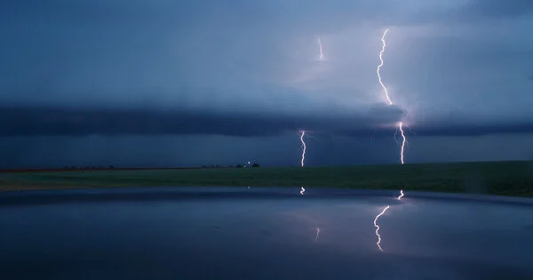
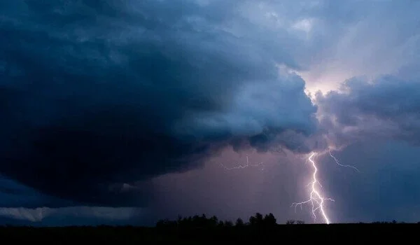
Satellite and radar data can play an important role in improving thunderstorm forecasts. Thunderstorms are complex atmospheric phenomena that can be difficult to predict accurately, but by combining satellite and radar data with other sources of meteorological data, forecasters can gain a more complete picture of the storm and make more accurate predictions.
Tens of thousands of thunderstorms rumble around the world every day, but accurately predicting when and where they will form remains a major challenge for computer weather modeling. According to a Penn State-led team of scientists, a new technique combining underutilized satellite and radar data in weather models may improve these predictions.
“Thunderstorms are so common that it’s difficult to count how many occur in Pennsylvania, the United States, or globally every day,” said Keenan Eure, a doctoral student in Penn State’s Department of Meteorology and Atmospheric Science. “A lot of our challenges, even today, are figuring out how to accurately predict the time and location of thunderstorm initiation.”
The researchers discovered that by combining data from the geostationary weather satellite GOES-16 with data from ground-based Doppler radar, they could get a more accurate picture of initial conditions in the boundary layer, the lowest part of the atmosphere where storms form.
Keenan focused on using satellite observations to better define the environment in which the storms would later form, and on using radar observations to improve the low-level wind fields that eventually helped to create the storms.
David Stensrud
“There is value in improving thunderstorm predictions from both Doppler radar observations and currently underutilized satellite observations, and we demonstrated that not only can they be used to improve predictions, but combining them has a lot of benefits,” said Eure, the study’s lead author. “The whole is greater than the sum of its parts.”
In a case study from May 2018 in the Texas panhandle, the technique showed promise in improving forecasts of convection initiation, the conditions that spawn storms, several hours before the storms occurred. The researchers published their findings in the journal Monthly Weather Review.
“Keenan focused on using satellite observations to better define the environment in which the storms would later form, and on using radar observations to improve the low-level wind fields that eventually helped to create the storms,” said David Stensrud, a Penn State professor of meteorology and Eure’s advisor and co-author on the study. “This observation combination had not previously been investigated and ended up adding significant value to the model forecasts on this day.”
The scientists used data assimilation, a statistical method that can paint the most accurate picture of current weather conditions in the weather model, which is important because even minor changes in the atmosphere can result in large differences in forecasts over time.
Understanding boundary layer conditions is critical because it has a strong influence on the ingredients for convection (near-surface moisture, lift, and instability), a process that causes warm air near the Earth’s surface to rise and form clouds.
“We obviously can’t model every molecule in the atmosphere, but we want to get as close as possible,” Eure said. We really believe this work adds a lot of valuable information that models currently don’t have and that we can help the depiction of the lowest part of the atmosphere.”
The team analyzed satellite and radar data separately and simultaneously and discovered that combining infrared brightness temperature observations from the satellite and radial wind velocity and boundary height observations from the radar produced the best results.
Penn State’s Center for Advanced Data Assimilation and Predictability Techniques developed all-sky satellite data assimilation, which assimilates satellite data from all weather conditions, including cloudy and clear skies. Forecasting had previously relied on clear-sky observations due to difficulties in diagnosing the complex physical processes occurring within clouds, according to the scientists.
“While more cases need to be investigated, these observations are currently available and could be used to improve thunderstorm prediction over the next decade as NOAA advances its Warn-on-Forecast paradigm, in which computer model predictions help to make severe weather warnings more accurate and timely,” Stensrud said.
Other Penn State researchers on the project included associate professors Matthew Kumjian and Steven Greybush, assistant professor Yunji Zhang, and former graduate student Paul Mykolajtchuk from the Department of Meteorology and Atmospheric Science.
This study builds on the work of the late Fuqing Zhang, a renowned meteorologist and atmospheric scientist. This study was funded by NASA and the National Oceanic and Atmospheric Administration.